The week leading up to this, weather forecast looked great and the moon was reaching full, so we decided to take the chance to attempt a Moonlit Presidential Traverse. The day before, the Mount Washington Weather Observatory issued a slightly concerning forecast which we heeded not by cancelling our adventure, but by throwing in some rain paints. It was pretty much spot on: wind, cold temps, rain, hail, fog, and moon-obscuring clouds. We didn’t stick around up there long enough to find out about the forecasted thunderstorms.
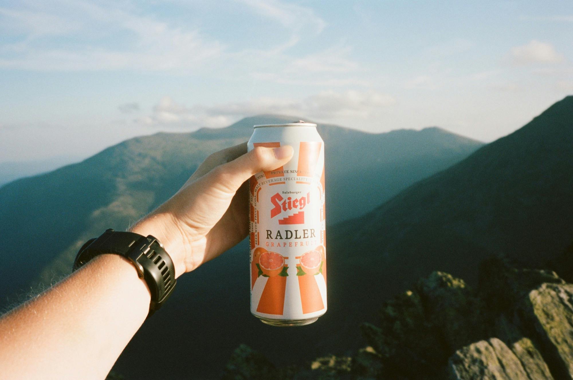
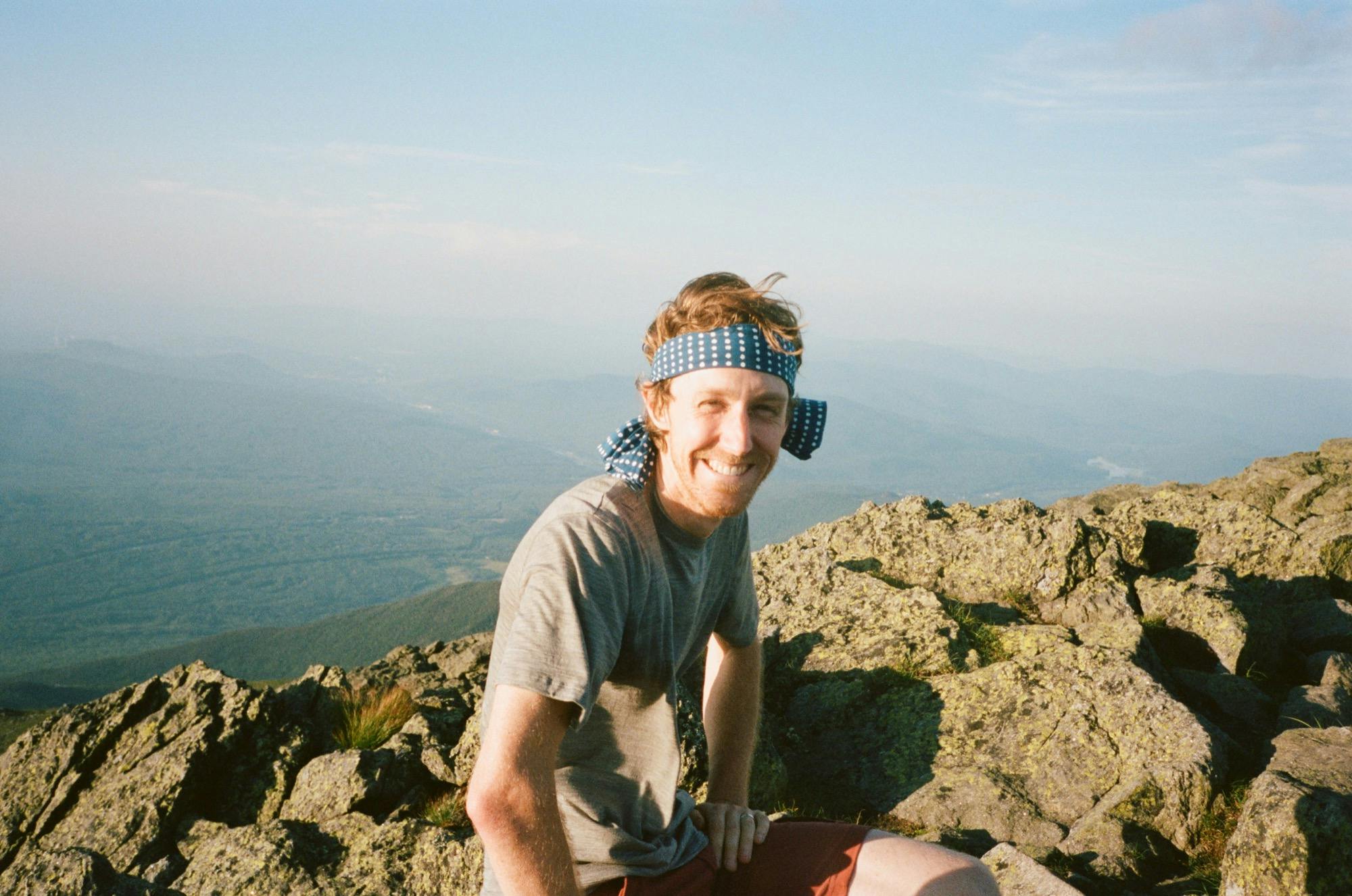
The march up Mount Madison via Valley Way was straightforward: hot and lots of climbing. We got to the summit in less than 2.5 hours and Doug surprised us with some summit beers. We shared only one for now with hopes of passing the others around at the other summits along our traverse. We ate our sandwiches, and took some pictures of the epic mountains in beautiful weather and felt happy about our decision to come.
Along the way up, we noticed that Rye was whimpering a bit. We thought maybe she was just anxious to push on faster and when she did it again as we were approaching the summit of Madison, we thought she might be nervous about the relative exposure. Only later did we come to the conclusion that she felt the storm coming and was voicing her concern about our impending ridgeline situation. We also figured that’s what was with the unusual number of slugs.

We refilled our water bottles at the hut, then Doug and I quickly hauled ourselves over Adams while Cody and Rye went around to avoid the un-dog-friendly trail (it’s super sharp on her little feetses). The sunset happened, but we weren’t privy to it hiding behind some clouds. Now that the light was fading, we really took notice of the foreboding cloud parked above the summit of Mount Washington. Doug got quiet.
We caught Cody and Rye a few minutes later at the agreed-upon junction and headed up to Jefferson as twilight set in. For a while, the fullish moon was so bright and lit up the trail, so we went without headlamps. Then we missed a turn, so we put on our red lights and took a new route for us — Six Husbands — which made a straightforward rise up to the summit. We stopped for a quick picture in the dark, then went on into total darkness as the moon was blanketed in clouds. So much for night vision — on went the white headlights.
The trail was difficult to find without the moon to reveal the next cairn, and Rye proved less reliable than expected as sniffing it out. We must have gone 15 minutes slowly onward toward the saddle when a lot happened all at once: twilight ended, raindrops fell, the wind picked up, the moon was completely masked by clouds, and a wall of fog blocked our visibility even more. On went the brightest lights we had and the rain gear (so thankful for rain pants!).
Very quickly things escalated and we decided to hunker down in one mildly sheltered spot to put on our warmest layers, which meant taking off wet rain gear first. Just at that awkward moment our sheltered spot gave out and we were hit by a full downpour as we struggled to put back on our sticky Goretex. It was difficult to hear each other with the rain drops (and hail?) pelting our covered heads. We had very little visibility. Rye was instinctually trying to burrow into the scrubby trees. I started shivering. We easily made the team decision to bail down Jewell Trail. But first, we had to get there.

We carefully followed the trail cairn to cairn while I checked my wrist map to make sure we stayed on our intended trail. Doug lead the way followed by me, then Cody leading Rye on leash. The trail was flooded so dry feet were a lost cause. We were warm while we went, so go we did as fast as we could.
We passed several trails we did not want to take that would have taken us into the Great Gulf or over Mount Clay. Finally Jewell trail showed up on my wrist map. The rain briefly let up before pummeling us with sideways hail. We took a sharp right onto our bail route and carefully and slowly made our way down. It’s a pretty technical hike and all the rocks were dangerously slippery. Plus, with the fog and rain we had to hold our headlamps in our hands to actually see anything, which made balancing on the wet rocks even trickier.
When we finally made it to treeline, Cody let Rye off leash, the rain stopped, and we spent the slog down recounting our fears and trying not to think about the long stretch of road we’d need to take after we finally made it off the mountain to get back to our cars. We all worried about becoming another Mount Washington statistic. We should have known better, but at least we all had rain pants and enough sense to put them on.
The rest of the night was uneventful and very late. Tired after all that plus two hours of hiking down roads to Doug’s car at the AMC Highland Center, and then another 40 minutes drive to our car, we slept in our cars for a few hours. In the morning, things seemed quite a bit more hopeful. The sun came out and we enjoyed some breakfast burritos at Maia Papaya in Bethlehem, NH before making the rest of the drive home for a nap. Nothing like a harrowing journey through the mountains to feel gratitude to be warm and dry and safe at home.
Peaks
Mount Madison (5,367ft), Mount Adams (5,774ft), Mount Jefferson (5,712ft)
Trailhead
Appalachia
Trails
Valley Way, Gulfside, Airline, Lowe's Path, Six Husbands, Mt Jefferson Loop, Jewell, Roads
Total Distance
18.4 miles, 5,587 ft elevation gain
Time
Start: 4:54pm, 10:20 Time
Weather
Started out hot, humid, and clear and turned to freezing wind chill, rain, clouds, and hail
Partners in Crime
Doug, Cody, Rye
Strava
Gallery
Rye looking out toward Madison Hut
Looking toward Mount Adams from Mount Madison
Rye on Madison
Any another one of Rye on Madison
Summit beer
Summit pics and sandwiches and general merriment
Cody on Mount Madison
Cairns before they were impossible to see